Cased Set of Motoring Maps
Cased Set of Motoring Maps
83726
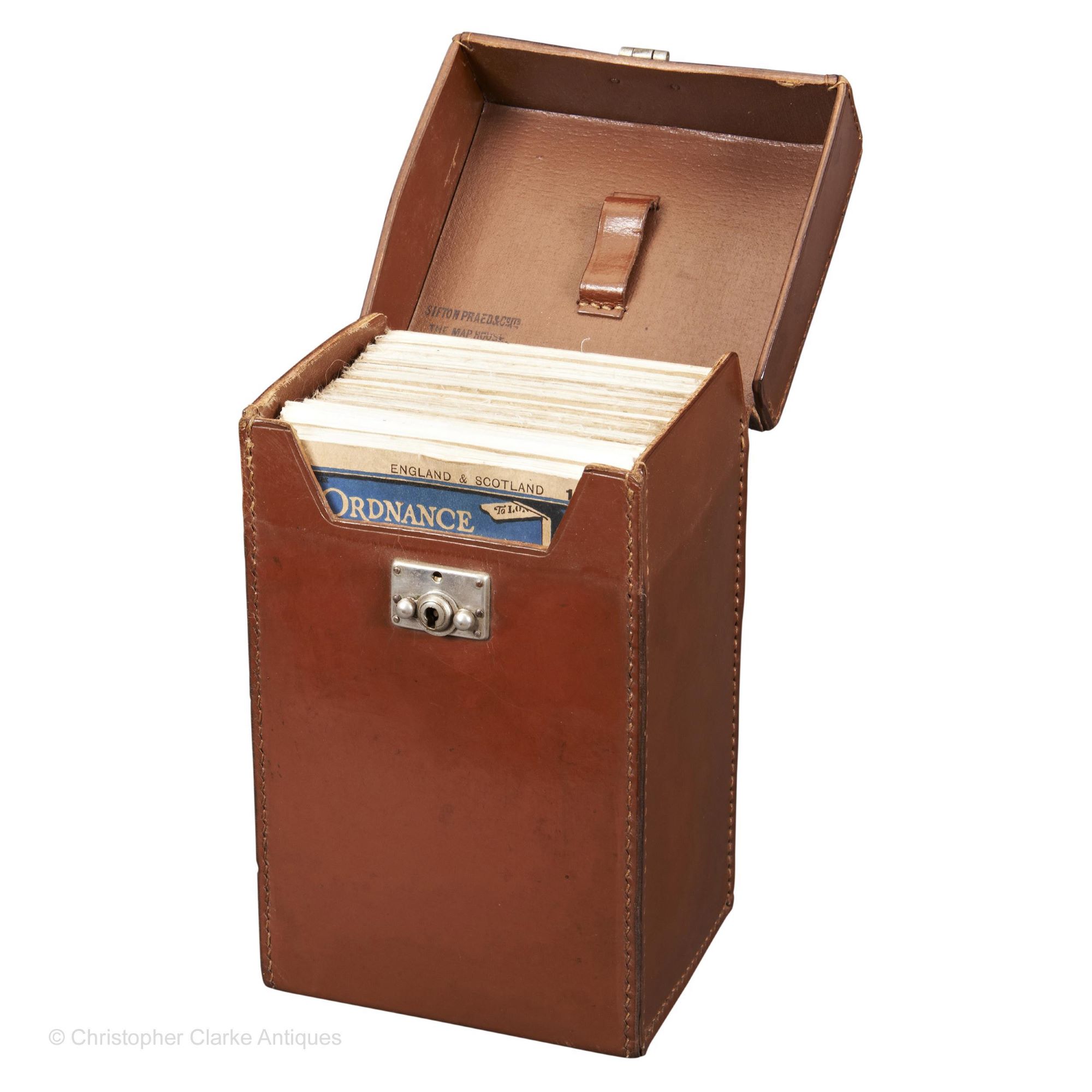
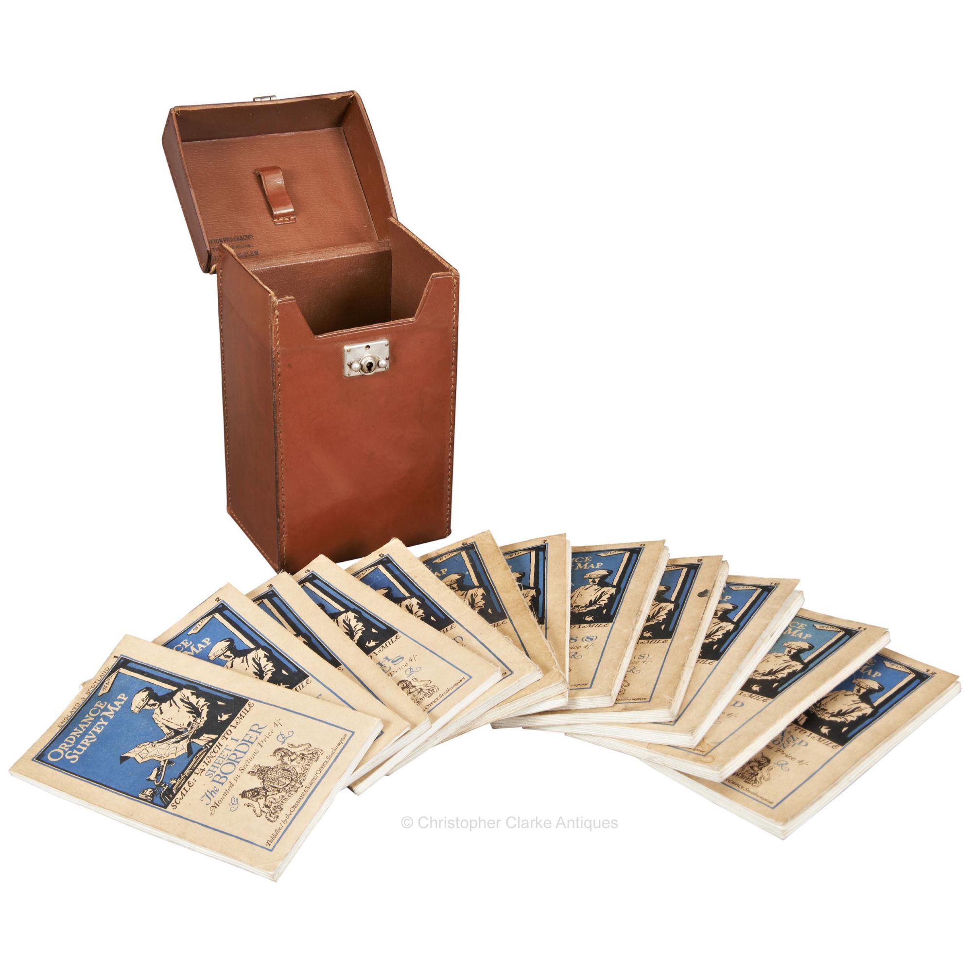
A leather Cased Set of England & Scotland Motoring Maps.
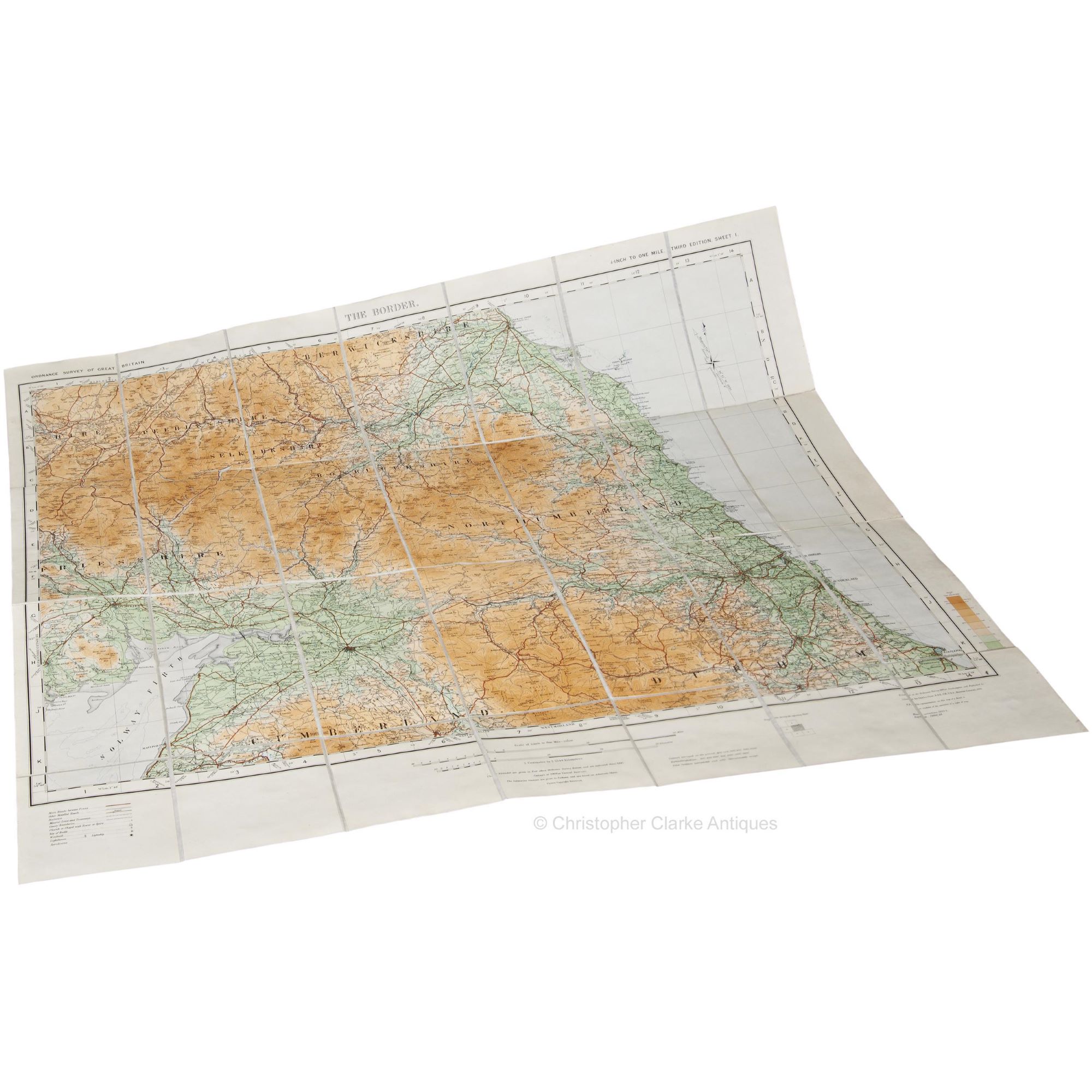
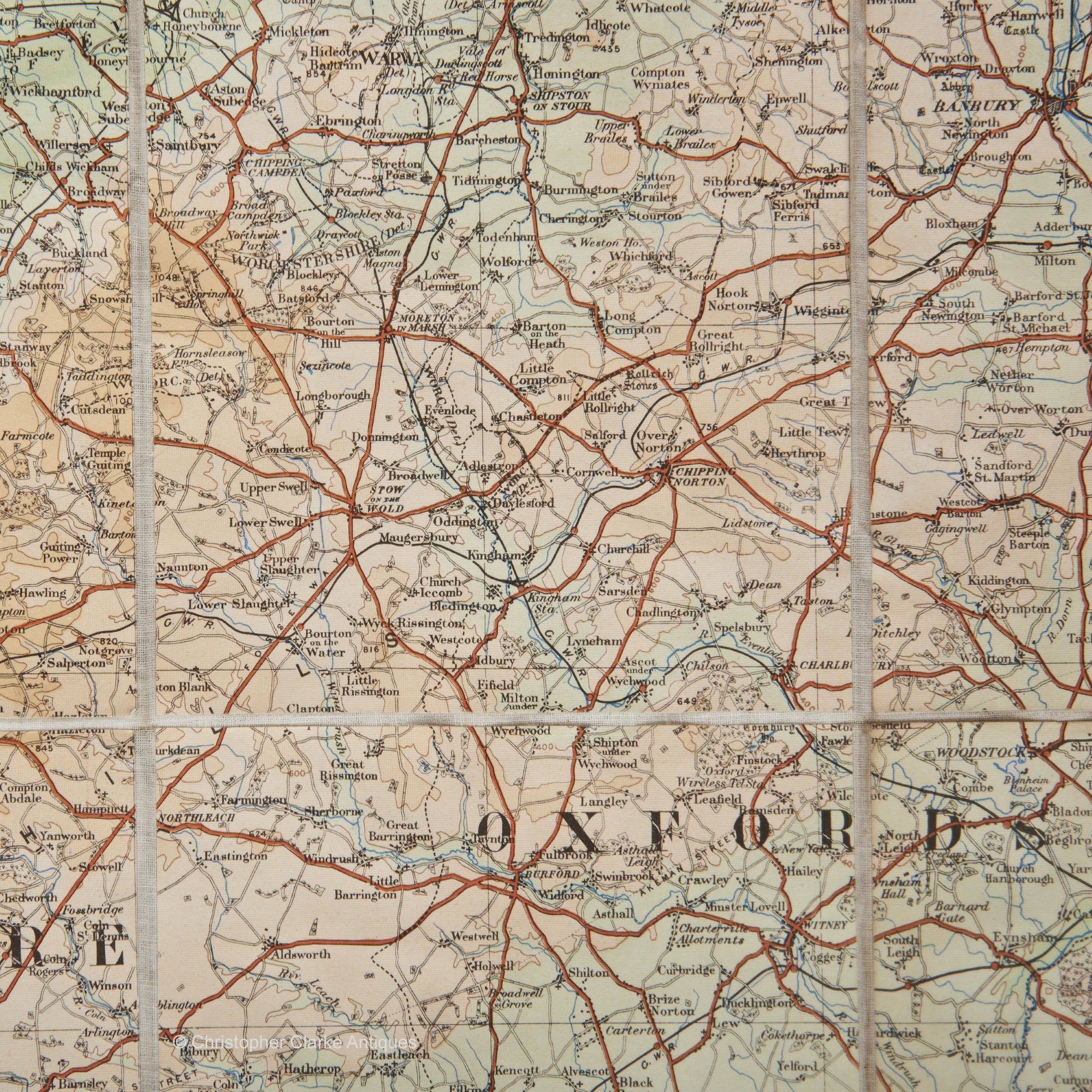
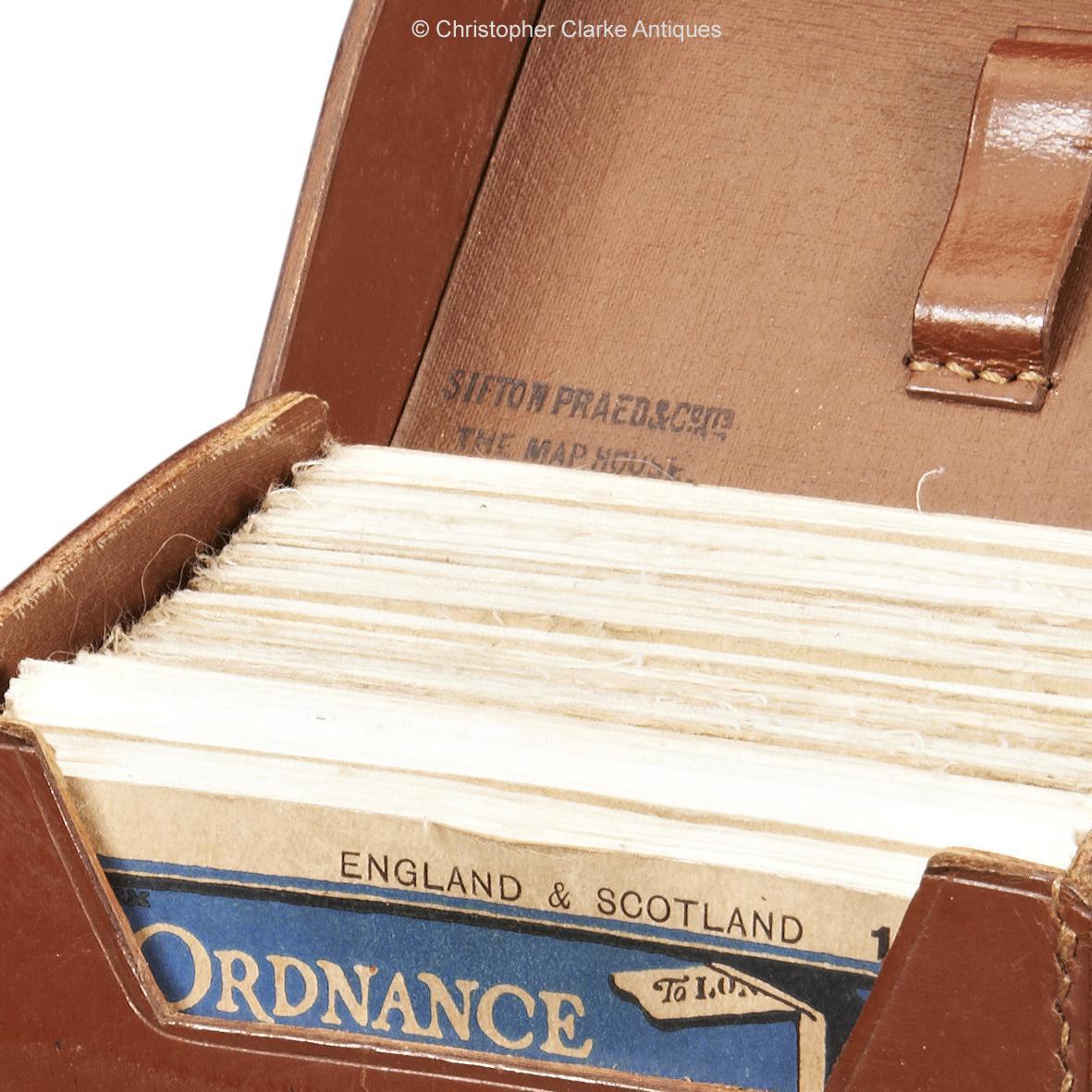
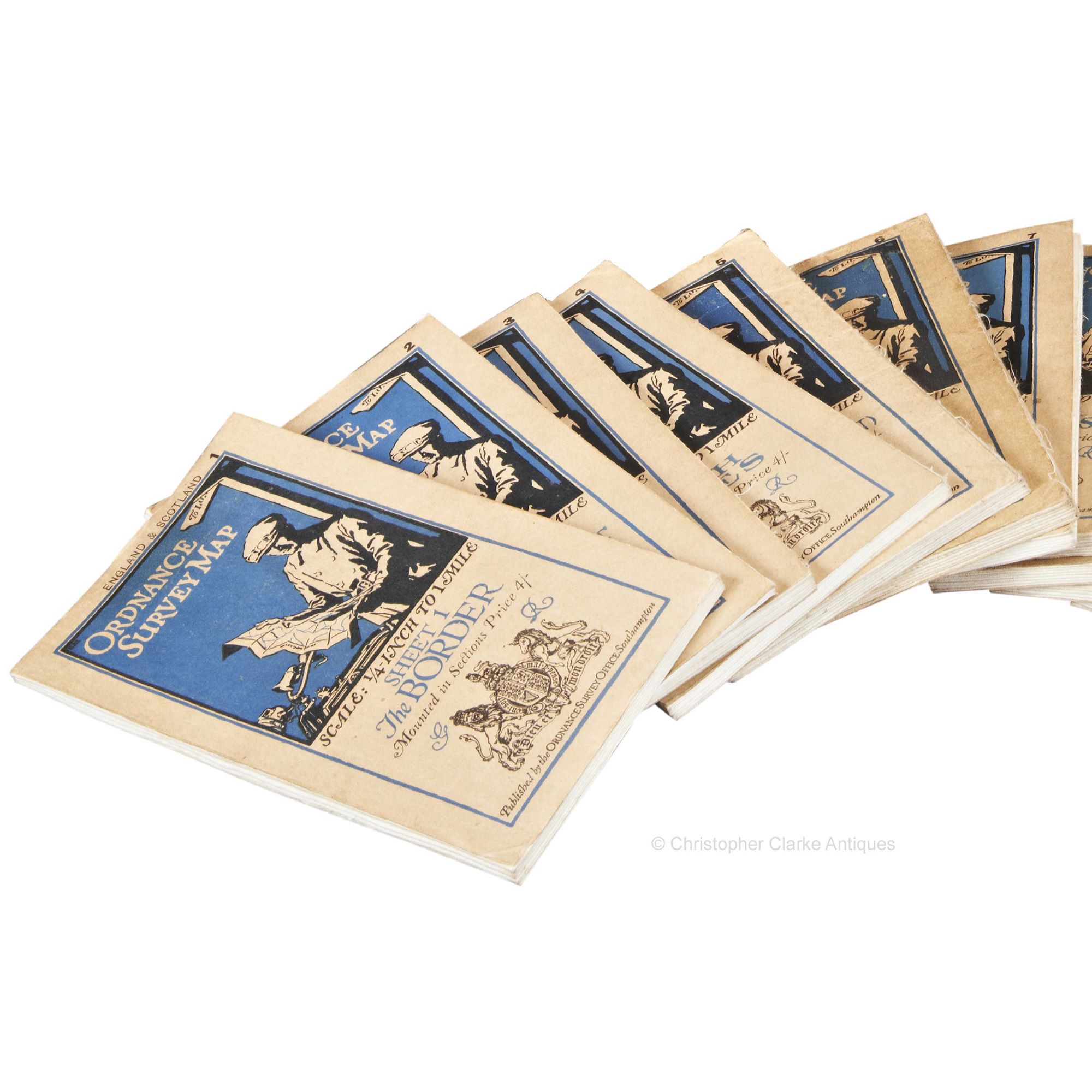
The 12 Ordnance Survey Maps were retailed by Sifton Praed, who stamped their details of 'Sidton Praid The Map House 37 St. James St. SW' to the lid interior. Originally a milometer would have been held in the lid but its not unusual for these to be missing. The scale, as noted to the bottom of each canvas backed map is '1/4 to One Mile' or '1 Centimetre to 2.5344 Kilometres'
The maps also note that they were 'Printed at the Ordnance Survey Office Southampton and Published by Colonel Sir Charles Close , K.B.E., C.B., F.R.S., Director General, 1921' with 'Minor Corrections 1923-24.'
This is a good, smaller set of maps that would have been useful to the early motorist. Dated 1923-24.
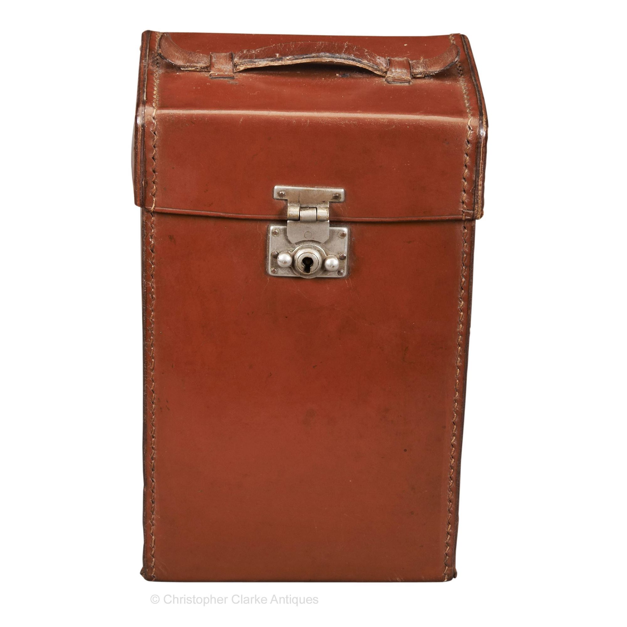
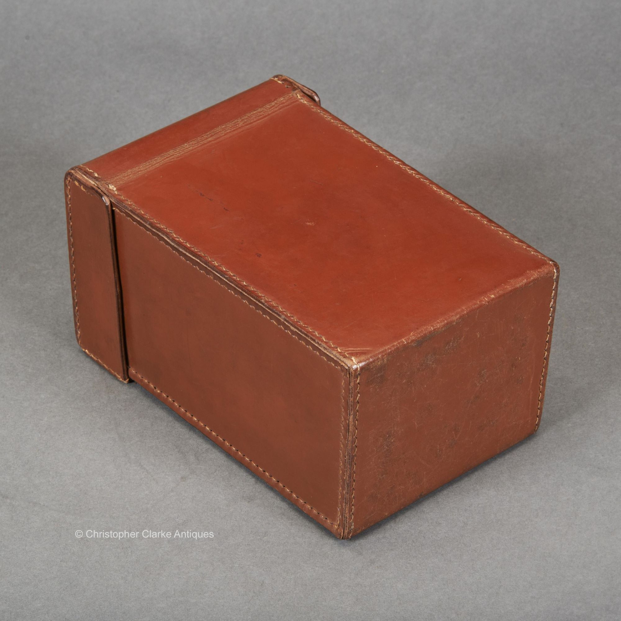
Case size is given.
Dimensions:
1923-24
Leather case, printed maps backed on fine canvas
England
Motoring Maps
Good. Key missing
RELATED ITEMS


